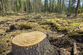
Une carte surprenante de la déforestation
Using over 650,000 satellite images researchers have put together a global map of deforestation rates from 2000 to 2012. A collaborative effort between NASA, Google, and the U.S. Geological Survey, the map shows that over… Lire la suite